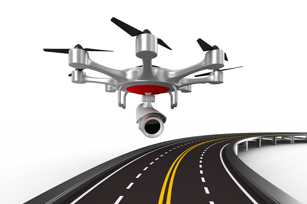
Benefits of our Drone Powered solution for Roadways
- Higher-resolution visual inspections with drones compared to ground-based inspections
- Increase efficiency with high-resolution data in a very timely manner with Lidar, thermal and 4k capabilities
- Safely monitor and inspect the condition of Highways without endangering any personnel
- Save cost, time, and resources with Drone Survey & Inspection compared to the ground-based approach
- Keep track of all changes with historical data and reporting tool
- Conduct accurate measurement of road throughfare
BENEFITS OF DRONES FOR ROADS AND HIGHWAY INSPECTION

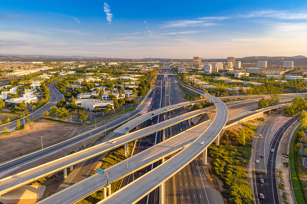
In the Caribbean, we have hundreds of miles of roadways and in some countries, railroad tracks It is the responsibility of the local entities in each specific jurisdiction to ensure the good working condition (maintenance, replacement, and upgrade) of most of the nation’s Highways, roadways, track, bridges, and other key infrastructure.
With the signification number of roadways, the task of inspecting and maintaining these roadways have not kept up with technology adaption, at DRIFT UAV Services we have been integrating drone technology across several industries including the transportations industry.
At DRIFT UAV we have done our research in the transportation sector have realized the main difficulty in the boots-on-the-ground inspection model has been the lack of automation, scalability, and repeatability resulting in huge delays in reporting, sometimes taking months with little to no actionable information.

WE OFFER
Roads & Highways Inspection:

Our Roadway Aerial Inspection services employs state-of-the-art drones furnished with advanced RGB and Thermal Sensors that allow us to create deliverables such as topography and contour maps, with 2D and 3D models. We do an in-depth review of Highway and Roadways infrastructure covering details such as potholes and cracks, power lines, crash barriers, Boundaries, Divider alignment, Soil Embankment, etc. Our Drones sees more topographic data and elevation of contour lines as contrasted to traditional methods.

Regular maintenance and inspection procedures often require personnel to be within the roadway corridor to perform visual inspections. Drones provide an easier alternative for roadway inspections and minimize the requirement of additional human resources. Drones are increasingly becoming recognized as having an important role in assisting the transportation industry, and their adoption is changing traditional models and operating procedures for all involved.
Our Aerial Inspection service for roadways / highways infrastructure includes, Road Inspection, assets inspection, Bridge inspection, etc. With Aerial inspection we help roadways agencies to keep track of their critical assets and avoid catastrophic damage. Our experienced pilots can collect aerial Data in less time while ensuring the roadway and highways safety standards even on very high traffic roadways without interfering traffic flow.
WE PROVIDE:
- Road Inspection Services
- Assets Inspection
- Bridge Inspection
- Geo-Tagged Inspection Data
- Embankment Inspection
- 2D Roadway Mapping
- 3D Models
- Roadway Inspection Reporting
- Elevation Models
- Terrain Models
- Mapping Riverbank conditions

Visual Drone Inspection, offers a more cost-effective and faster alternative to traditionally manned inspections, such as scaffolding, crane, or rope access. All of which are dangerous, time-consuming, and costly.