WE PROVIDE:
- FARM MAPPING
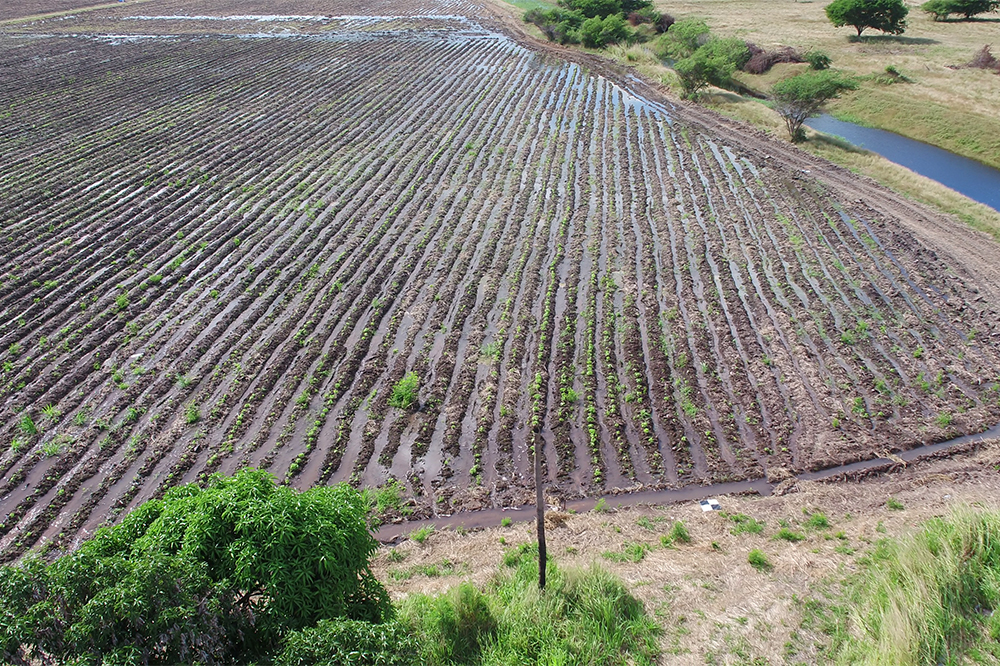
- FARM DAMAGE ASSESSMENT
- PLANT SCOUTING
- CROP ASSESSMENT
- CROP COUNT
- PESTICIDE SPRAYING
TAKING ACTION WITH AERIAL DATA IMAGERY
- Improve irrigation efficiency
- Forecast yields more accurately
- Identify plants to be culled
- Target pesticides applications
- Improve field labor deployment

Technology in Agriculture is changing daily. At DRIFT UAV we are constantly learning and staying up to date with the latest trends and technology to convert aerial images into actionable data in the field.
We work hand in hand with Agronomist, and farmers to convert the data we capture into actionable insights. Our data can help make the scouting process much more efficient and target only the areas that need attention. The process that used to take days can now be done in much shorter time translating to cost savings to you

For generations farmers have walked their fields inspecting crops manually for signs of stress, disease, and vigor. Irrigation management, crop inspection, spraying of pesticides, all use traditional labor-intensive methods, which are time consuming, and can be difficult as crop canopies thicken. Using Drone technology, farmers can now evaluate their crops at scale, while simultaneously creating vegetation maps that help them manage their crops – and their time – better.
Aerial-based imaging services has also become an important tool for agricultural management. It is a non-invasive way to monitor crops, nurseries and greenhouses and even detect plant disease. Industrial farmers can now leverage these technologies, since they allow for better business decisions relating to agricultural issues.
Benefits of Drone in Agriculture with DRIFT UAV Drone Services
- Higher-resolution visual inspections with drones compared to ground-based inspections
- Increase efficiency with high-resolution data in a very timely manner with multispectral Thermal/4k capabilities
- Farmers make better decisions and avoid costly mistakes with aerial mapping of crop fields.
- Save cost, time and resources with Drone Mapping for your Crop fields compared to ground-based approach
- Highly accurate Predictions for – inventory information, crop emergence, drive replanting decisions, total yield prediction, etc.


Aerial assessments and data gathering within the farming sector provides key information such as:
- Plant Vigor
- Plant Stress
- Plant Counts
- Field Uniformity
- Plant Height
- Other Variables